
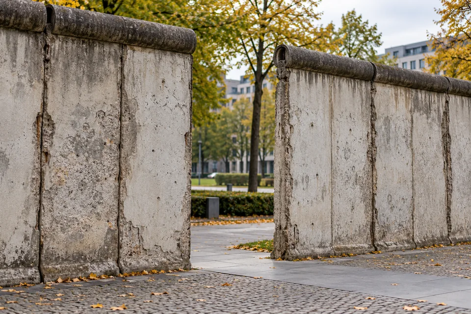
A border to stop departures
East Germany’s ruling party built the Berlin Wall to stop people leaving for the West. Border closures began on 13 August 1961.
The Berlin Wall Foundation explains the pressure behind the decision: people had been leaving East Germany for political, economic and personal reasons. Berlin offered a route out.
The surprising part of the map
The Wall did more than separate two halves of a city. It surrounded West Berlin, cutting it off from East Berlin and the surrounding East German territory.
East Germany had already closed its border with West Germany in 1952. Berlin’s open sector borders had remained a way through. The new barriers closed that opening.
Not one night of concrete
The first closure used barbed wire and blocked streets. Walls followed, and the border developed into a much more elaborate system over the years.
For residents, the change was immediate. The US National Archives describes neighbours, friends and families separated by the border. Its consequences reached far beyond the line on a map.
Opening and demolition are different
The border opened on 9 November 1989. That does not mean every concrete section disappeared that night: dismantling followed, and some remains were preserved.
Both 1961 and 1989 belong to the twentieth century. If that numbering feels odd, try the simple century rule. For another surprising timeline, see where Cleopatra sits between the pyramids and the Moon landing.