
The piece that stays attached
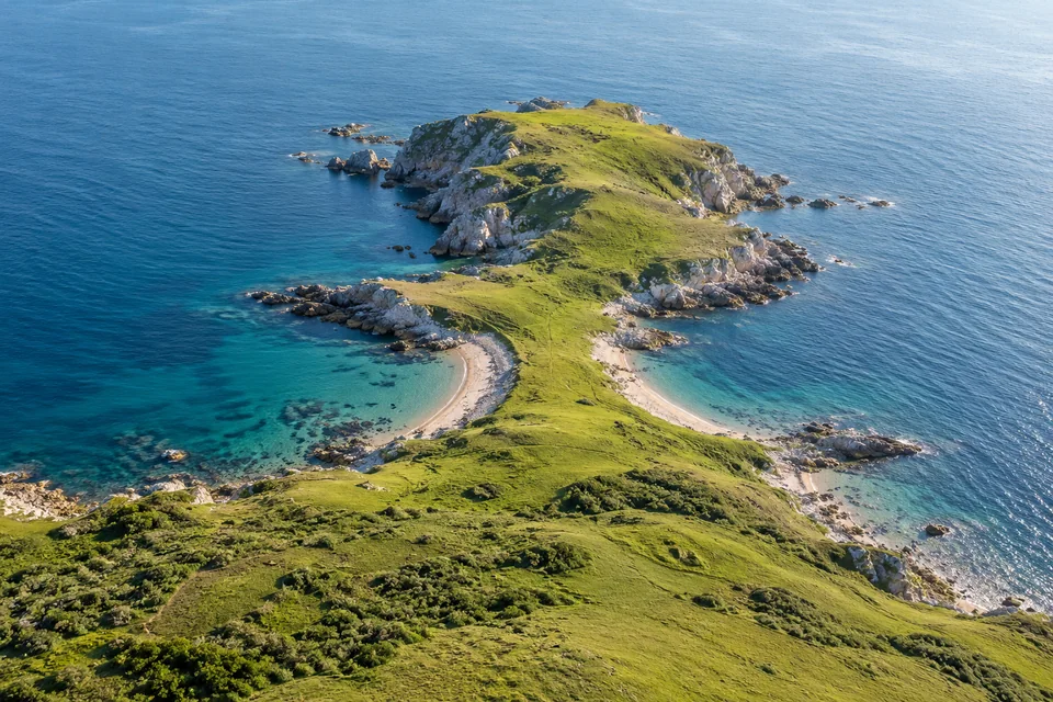
A peninsula is land mostly surrounded by water but still joined to a larger land area. It reaches out into the water without becoming a separate island.
That remaining connection is the useful clue. A coastline can have plenty of bends, so look at how the land joins up rather than trying to count three perfectly straight sides.
Not just an ocean shape
Cambridge Dictionary includes peninsulas extending into a sea or a lake. An ocean is not required for the name to fit.
Imagine drawing a pond with a long grassy tongue reaching into it. If that tongue remains attached to the surrounding land, you have the basic idea. The drawing needs no palm trees or tropical beach.
Small point, big region
National Geographic describes peninsulas at very different scales, from small coastal projections to large regions. Spain and Portugal, for example, are on the Iberian Peninsula.
So a peninsula is a landform, not a size category. Its name tells you about the relationship between land and water, rather than how many people or countries it contains.
Two ways to read a coast
A peninsula takes land out into water. For a different coastal shape, explore a fjord, where the sea fills a deep valley.
And when the land really is divided into separate islands, the group may be an archipelago. One map can hold several different kinds of coastline.