
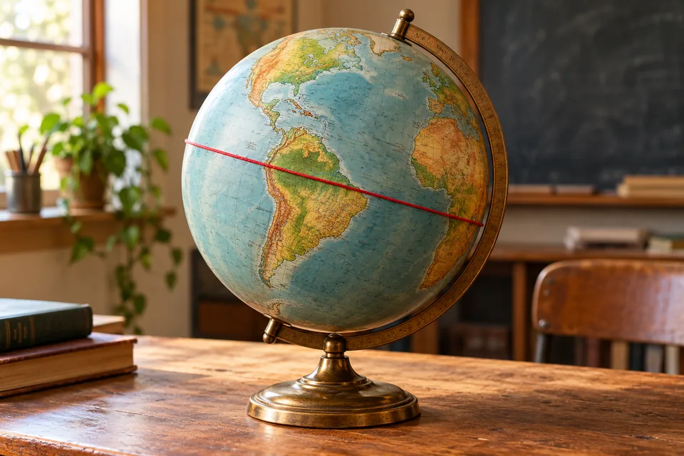
A useful zero
The equator is an imaginary line around Earth, halfway between the North and South Poles. It marks 0° latitude. North of it is the Northern Hemisphere; south of it is the Southern Hemisphere.
NOAA explains latitude as a way to measure how far north or south a place lies. The equator gives that measurement its starting point.
Try a globe
Find the North Pole at one end of a globe’s axis and the South Pole at the other. The equator circles the broad middle, at right angles to that axis.
There is no painted stripe across every ocean and forest. Maps and globes make the invisible reference line visible so we can use it.
Two different zeroes
The equator is the zero for latitude. The prime meridian is the zero for longitude, the east–west coordinate.
One tells you which way to head towards a pole; the other helps locate you around the planet. Together they can pin down a place much more precisely than “somewhere near the middle”.
Explore ten geography terms to picture whenever you fancy another short read.