
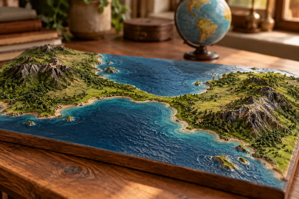
Start with the shape
Geography terms help name patterns of land and water, then locate them on Earth. Start with one shape you can picture, rather than a page of definitions to memorise.
These short reads explain ten useful terms. Choose whichever pair looks easiest to mix up.
Land and water trade places
- Strait A narrow stretch of water connects larger waters.
- Isthmus A narrow strip of land connects larger land areas.
- Peninsula Land reaches into water while staying attached.
- Archipelago Islands have company.
Follow the water
Give the shape an address
- Equator Start the north–south coordinate at zero latitude.
- Prime meridian Meet the agreed starting point for longitude.
Want to put the words into a wider world? Try the World Capitals.
NOAA explains latitude and longitude, the coordinates behind those two zeroes.