
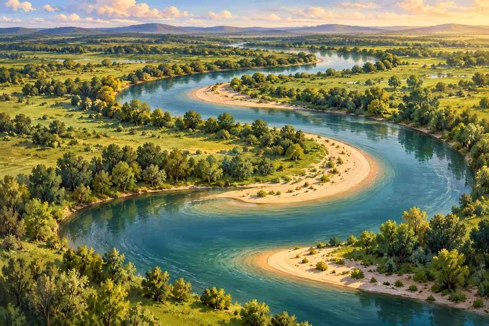
A bend with a wandering habit
A river meander is a winding bend in a river. It can change position as flowing water wears away one bank and leaves sediment along another.
On a map, a looping river can look like someone dropped a piece of blue ribbon. The surprising part is that the ribbon does not have to stay in the same place.
One side loses, the other gains
The two banks have different jobs. Water erodes the outside of a bend, carrying material away. Sand and other sediment collect on the inside, building a deposit called a point bar.
The US Geological Survey describes this process along the Mississippi. As erosion and deposition continue, a bend can shift sideways across its flood plain.
Sometimes the river takes a shortcut
A loop can grow until the river cuts through a shorter route. The abandoned bend may become a separate, curved oxbow lake.
USGS satellite images of Bolivia’s Mamoré River show these cutoffs over time. Those little curved lakes beside the channel are clues to where the river used to flow.
Read the landscape’s old handwriting
Look at a satellite view of a winding river. Can you spot an abandoned loop beside the present channel? You may be looking at an earlier version of the same river.
Follow the water farther downstream and there is another puzzle: why are rivers fresh when the ocean is salty?