
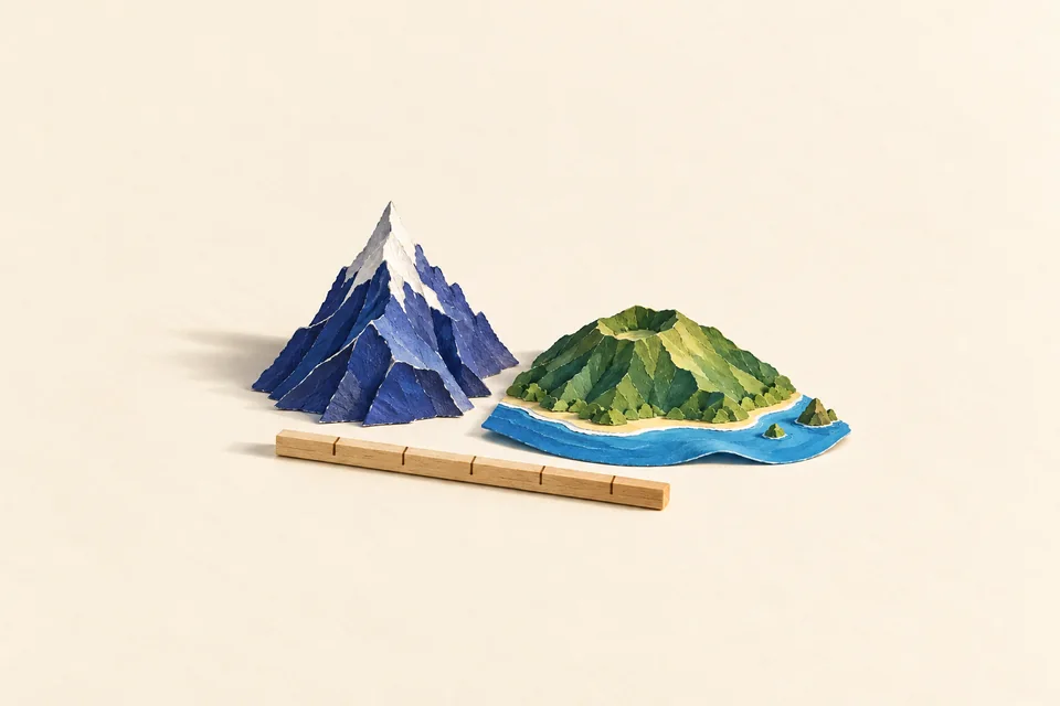
Everest starts at sea level
Mount Everest is 8,848.86 metres above sea level, according to the height jointly announced by China and Nepal in 2020. The International Association of Geodesy explains that measurement.
That makes Everest Earth’s highest mountain above sea level. But ask which mountain is tallest, and someone may nominate a volcano in Hawaii. Nobody needs a new ruler. They need to agree where it starts.
Chimborazo takes a different route
Earth bulges around the Equator. Ecuador’s Mount Chimborazo sits close to that bulge, so its summit is farther from Earth’s centre than Everest’s.
It is not higher above sea level. Its starting point is simply farther out. The shape of Earth quietly changes the contest.
Pick a starting line
For a quick quiz, “highest above sea level” means Everest. Base to summit points to Mauna Kea; distance from Earth’s centre points to Chimborazo.
Geography loves a hidden definition. It also explains why Greenland looks enormous on some maps and why the Caspian Sea can be called a lake.