
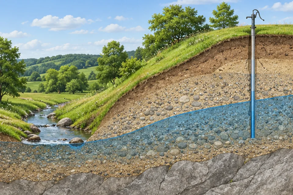
Start with the ground height
Draw a hill with a shallow well. Its top is 30 metres above a reference level and its water is 8 metres below the top. Mark the water at 22 metres. Now add a second well on lower ground. Its top is 24 metres and its water is 3 metres down, so the water level is 21 metres.
Compare like with like
The second well reaches water after a shorter drop, yet its water surface is one metre lower by the common reference. The trick is to subtract the depth from each well top and compare the resulting heights. Comparing only the drops would miss the difference in ground height.
Use a consistent snapshot
The wells should sit in the same shallow groundwater system, be at rest and be measured around the same time. The two numbers are invented to practise the arithmetic. Real surveyors use more than two points to draw the shape of a water table.
For the underlying idea, read what a shallow well tells you. Explore more routes in the water cycle hub.
Read the source: US Geological Survey · The water table.