
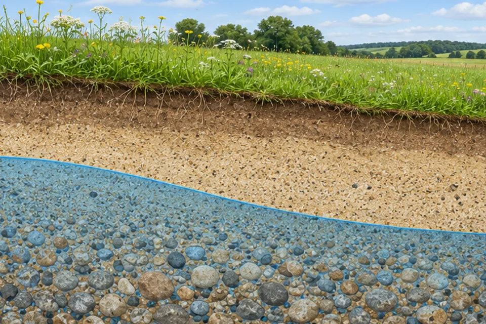
Water in the gaps
The water table marks the level in shallow, unconfined groundwater where water pressure equals the pressure of the air above. As a beginner’s picture, think of a boundary near the top of the groundwater-filled zone. Some water can cling in tiny pores above it, so the first damp soil you find needn’t mark the water table.
Why a shallow well helps
Picture a pipe sunk far enough to reach shallow groundwater, with an opening that lets water enter. When the well is resting, water in it gives a clue to the level nearby. A measurement from the grass tells you the depth below that spot. To compare several wells on uneven land, use their water levels above the same reference height.
The level can move
Some rain soaks down and eventually reaches the groundwater. In some landscapes that water feeds streams between storms. The water table can rise and fall as recharge and loss vary. Compare this slower route with how surface runoff reaches a river, where water flows over the land instead.
Try the companion Academy exercise, or find your way through the water cycle from cloud to coast.
Read the source: US Geological Survey · The water table.