
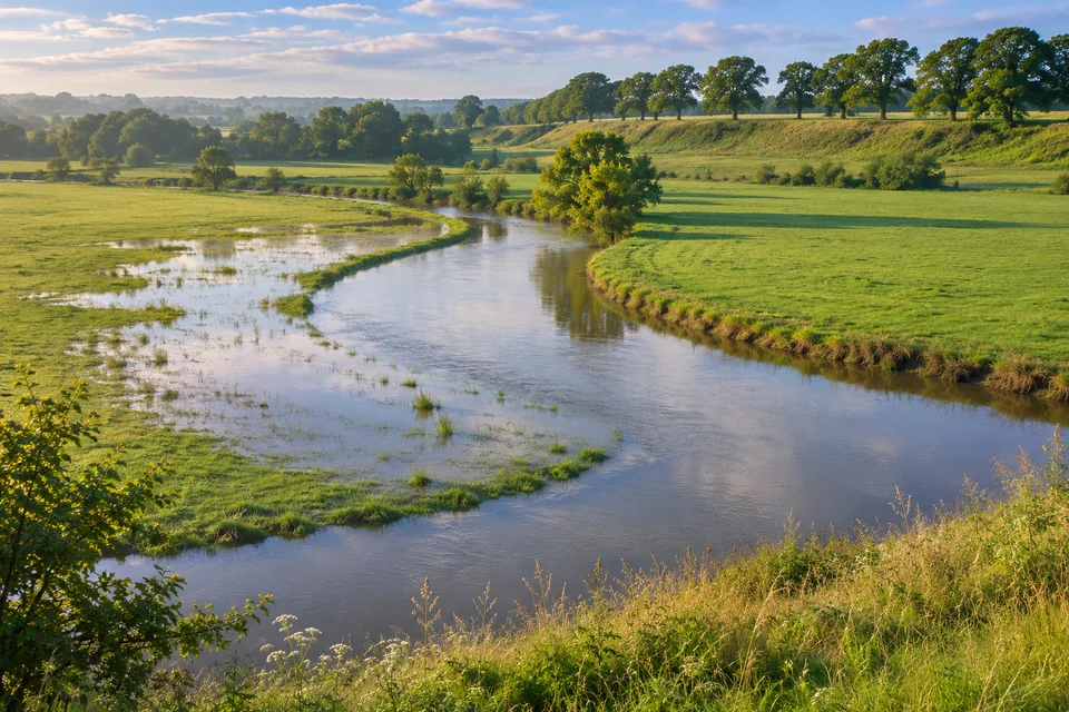
How to spot a floodplain
A river floodplain is the low, often flat land beside a river that water can spread over when it leaves the channel. Some floodplains look like ordinary dry fields for much of the year. A dry field can still be within reach of the river when the water rises.
Trace the shape of a valley from the middle outwards. First comes the channel, where the river usually flows. Beside it you may find a wide, low strip. Farther out, perhaps at a slope or a step, the ground rises. That change in height is a clue to how far floodwater can spread.
Same valley, different routes
Imagine a river crossing a meadow. There is a low hollow behind the bank on the left and a raised terrace on the right. Water that overtops the left bank has an obvious route into the hollow. Reaching the top of the terrace would take a higher water level, assuming water has a way to reach it.
On a map, try the same reasoning with contour lines. Widely spaced contours can help you spot the flatter ground. They give you an idea of the valley’s shape. An official flood map also uses information about where water comes from and how it moves.
What a flood can leave behind
When a river spreads onto low ground, some of the sediment it carries can settle there. The US National Park Service describes rain washing particles into the Buffalo River and larger particles settling as the water calms. Over repeated floods and shifts in the channel, sediment can help build the valley floor you see today.
A moving river bend can reshape that floor. An oxbow lake gives you another clue. Its curve is a leftover piece of an earlier channel.
To see what settling can reveal, try comparing two jars of river water after they have stood still.
Floodplain or watershed?
A watershed is the area that drains towards a chosen outlet. It can include hills far from the river. A floodplain is the low strip beside the channel that can be reached by water from the river itself.
To put the two on the same sketch, first draw the high ground that separates water flowing towards different outlets. Then mark the low ground beside the river. The lines answer different questions. One helps you work out where water arrives from. The other helps you think about where a high river could spread.