
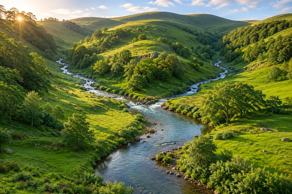
The land around the water
In its drainage-area sense, a watershed is the land that channels water towards a common outlet. You may also see it called a catchment or drainage basin. It includes the surrounding land, not only the river channel.
The US Geological Survey explains this use of the word. An outlet can be a point on a stream, a lake’s outflow or a river mouth. Choose the outlet before deciding which land belongs in its catchment.
Choose an outlet, then follow upstream
Imagine two small streams joining just above a bridge. For the catchment measured at that bridge, include the land draining into both branches.
Now move your chosen point upstream along the left-hand branch, above the meeting place. The right-hand branch no longer drains past that point, so it falls outside this smaller catchment. Nothing about the hills has changed; you have changed the outlet you are studying.
Agriculture and Agri-Food Canada describes these nested systems: smaller drainage areas sit inside larger ones.
Find the divide
A drainage divide separates neighbouring catchments. It often follows higher ground, with surface water flowing towards different streams on either side. Underground water can follow different boundaries, so a surface map does not describe every route below ground.
There is a vocabulary trap here. Watershed can also mean the dividing ridge itself. This guide uses the drainage-area meaning; check which sense another map or text uses. The catchment is the area, while its divide is the boundary.
A mountain ridge can also affect where rain falls in the first place. Follow the wind across both slopes in our guide to rain shadows.
A shallow well gives a different kind of clue from the surface map. Try comparing water levels in two wells on ground of different heights.
Rain has more than one route
Rain falling inside the boundary does not all rush to the outlet. Some soaks into the ground, stays in storage or returns to the air through evaporation and plants. The catchment describes a drainage relationship, not a promise that every drop arrives immediately.
Follow the channel’s changing shape in river meanders, or use contour lines to think about the hills around it. Bring the ideas together in How rivers shape the land.
At your chosen outlet, river discharge tells you how much water passes each second. Try the worked example, then use a graph to see how the flow can change after rain.
To see the overland route close up, follow rain running down a pavement and into a drain.