
BrainiLab Academy · Geography
How rivers shape the land
Follow bends, cutoffs, deltas and estuaries, then discover how rivers help carry dissolved salts towards the ocean.
Start learning →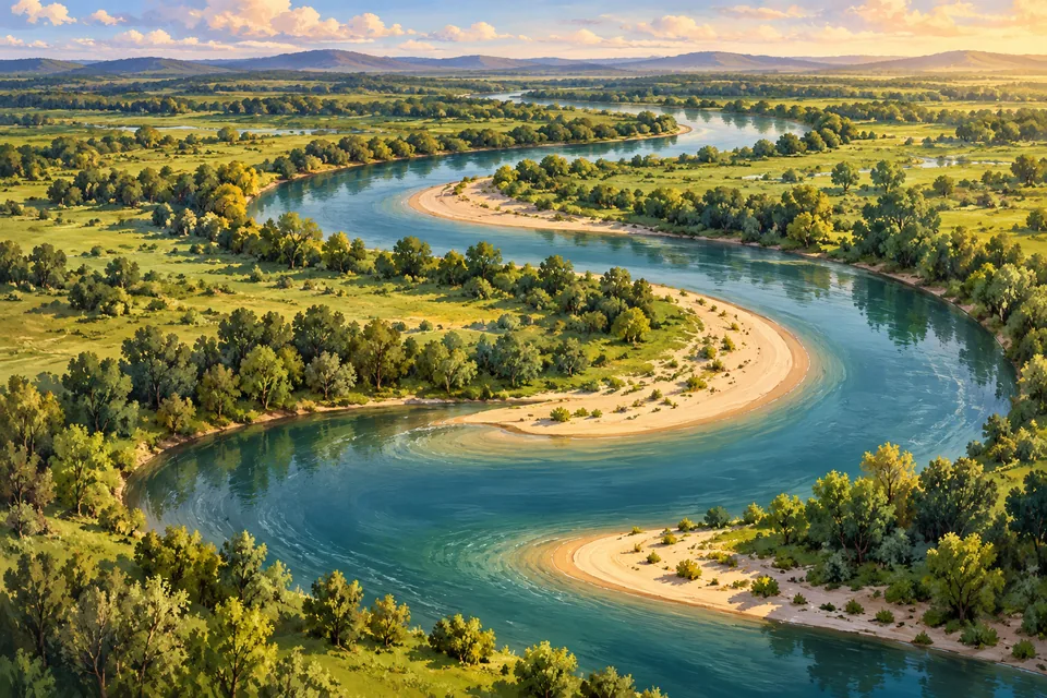
What you’ll explore
A river can move its bends, leave a curved lake behind and build land at its mouth. Those shapes record different parts of its journey.
Begin with erosion and deposition at a bend. Follow a cutoff into an oxbow lake, then travel downstream to see how sediment builds a delta. Short quizzes let you check the distinctions when you feel ready.
Continue to the estuary, where river water meets another body of water and conditions can change with the tides.
Follow dissolved minerals out of weathered rocks and towards the sea, then see why evaporation leaves salts behind.
One discovery at a time
Your lessons, step by step
- 1
 Read →
2 min read · Quick quiz
What is a river meander? Meet a bend that moves
Distinguish erosion on the outside of a bend from deposition on the inside.
Ready when you are - 2
 Read →
2 min read · Quick quiz
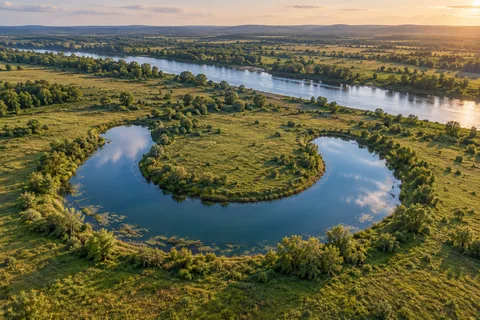
What is an oxbow lake? The river bend left behind
Explain how a cutoff can leave a separate curved lake.
Ready when you are - 3
 Read →
1 min read · Quick quiz
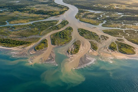
What is a river delta? A river drops its luggage
Explain how deposited sediment builds a delta and why its shape can vary.
Ready when you are - 4
 Read →
2 min read · Quick quiz
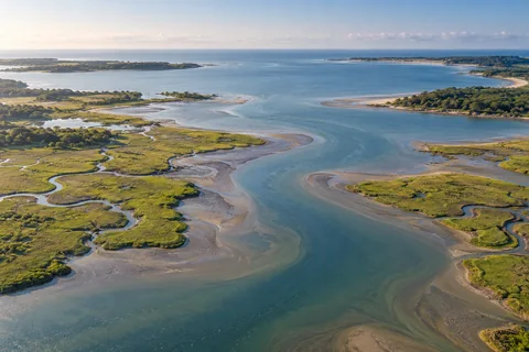
What is an estuary? Where a river meets the sea
Explain brackish mixing, tidal change and the freshwater-estuary exception.
Ready when you are - 5
 Read →
2 min read · Quick quiz
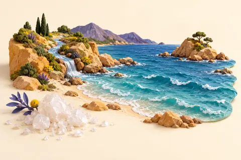
Why is the ocean salty if rivers are fresh?
Connect weathering and river transport to dissolved salts in the ocean.
Ready when you are
A few words worth knowing
- Erosion
- The removal of material by flowing water or another moving agent.
- Deposition
- Material carried by water or another agent being left behind.
- Distributary
- A channel that branches away from a river, as can happen at a delta.
- Brackish
- Partly salty, as in a mixture of freshwater and seawater.
Curious to dig deeper?
- US Geological Survey — How meandering streams reshape the Mississippi flood plain
- US Geological Survey, Earthshots — Oxbow lakes and the Mamoré River
- US National Park Service — Meanders, erosion, deposition and cutoffs
- Merriam-Webster — Oxbow and its U-shaped meaning
- U.S. National Park Service — Sediment balance, the Greek-letter name and varied delta shapes
- Woods Hole Oceanographic Institution — Distributary channels, deposited sediment and the influence of waves and tides
- NOAA National Ocean Service — What is an estuary?
- NOAA Fisheries — Estuary habitat and nurseries of the sea
- NOAA National Estuarine Research Reserves — What is an estuary? Freshwater exceptions
- NOAA — Why is the ocean salty?
- Woods Hole Oceanographic Institution — What makes the ocean salty?
- NOAA — Why are rivers not salty like the ocean?
Follow the sources, explore a little further, or tell us if something needs a correction. Suggest a correction.