
BrainiLab Academy · Geography
Read a world map: coordinates and scale
Read coordinates, distance and height, then explain a compass needle and choose a projection for comparing areas.
Start learning →
What you’ll explore
A map can tell you where a place is and how far apart two places lie. Those are different questions.
Begin with the equator and the reference meridian. Use them to read a labelled coordinate pair, then work through a scale conversion. The short chapter quizzes are optional and explain each answer.
For shapes you can recognise along the way, keep the geography terms guide nearby. To follow changing river features, explore How rivers shape the land.
A map gives symbols meaning through shared conventions. Compare that idea with product labels and timed signals in Read the codes around you.
Then add height: read contour lines, check their interval and count the gaps in a simple uphill example.
Then ask how a compass finds its direction and why Greenland looks so large on some world maps. Direction and relative area need different checks.
One discovery at a time
Your lessons, step by step
- 1
 Read →
1 min read · Quick quiz
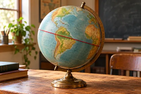
What is the equator? Earth’s imaginary belt
Recognise the equator as 0° latitude and distinguish the two hemispheres.
Ready when you are - 2
 Read →
1 min read · Quick quiz
What is the prime meridian? A zero chosen by people
Explain why longitude needs a chosen reference meridian.
Ready when you are - 3
 Read →
2 min read · Quick quiz
Latitude and longitude: read a place’s two numbers
Distinguish north–south latitude from east–west longitude in a coordinate pair.
Ready when you are - 4
 Read →
2 min read · Quick quiz
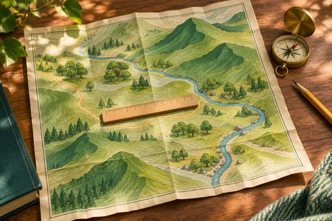
Map scale explained: turn a centimetre into a distance
Convert a map measurement using its stated ratio and distinguish a straight gap from a winding route.
Ready when you are - 5
 Read →
2 min read · Quick quiz
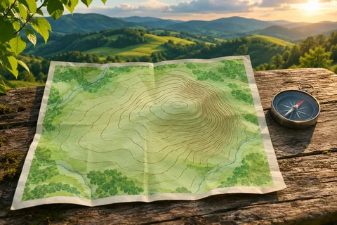
What are contour lines? Read the height of a hill
Read a contour interval and distinguish height gain from distance travelled.
Ready when you are - 6
 Read →
2 min read · Quick quiz
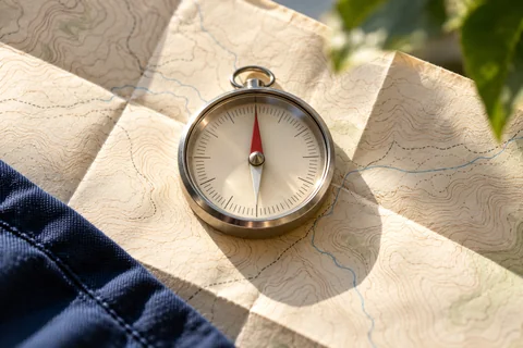
How does a compass work? A tiny magnet with a big job
Explain the compass needle’s magnetic alignment and distinguish it from true north.
Ready when you are - 7
 Read →
2 min read · Quick quiz
Why does Greenland look so big on a map?
Distinguish Mercator’s area enlargement from an equal-area comparison.
Ready when you are
A few words worth knowing
- Latitude
- An angular position north or south of the equator.
- Longitude
- An angular position east or west of a reference meridian.
- Scale
- The ratio between map distance and corresponding ground distance.
- Contour interval
- The difference in height between neighbouring contour lines.
- Declination
- The angle between compass north and true north at a particular place and time.
- Equal-area map
- A flat map designed to preserve relative areas, while allowing other distortions.
Curious to dig deeper?
- NOAA — Latitude and the equator
- NOAA — Longitude and reference meridians
- Ordnance Survey — Map scale and coordinate systems
- Ordnance Survey — Map reading, pages 10–11: contours and relief
- Geoscience Australia — Reading contour lines and terrain
- US Geological Survey — How does a compass work? CoreFacts transcript
- US Geological Survey — What is declination?
- US Geological Survey — Map projections
- United Nations — Africa and Greenland on world maps
Follow the sources, explore a little further, or tell us if something needs a correction. Suggest a correction.